Squaw Basin Backcountry Ski - Western Wallowas, Oregon
Explore trail on map
#Catherine
#Wallowas
#Burger
#HighHat
#SquawButte
Distance
Trailhead Altitude
Max. Altitude
Min. Altitude
Elev. Gain
Elev. Loss
Average Trail Slope
Max. Trail Slope

Trail Description

Squaw basin is a little-known feature hidden in the Western Wallowas that provides a variety of ski options. Squaw Butte offers some some eye candy for skiing, but the trick is hitting up the slopes at the right time. The wide open slopes on the west side of the ridge are extra exposed to sun and wind and coverage lower on the mountain can be sketchy. All in all, it is relatively quick access and awesomeness that makes it worth visiting.

The main tour route into the basin affords more options for skiing. It mainly follows the summer trail. Use this route with caution because you are hiking under some high angle slopes; however, the initial mile has mature trees and not as much weight above you so it should be good. The eastern side of the canyon shows more signs of big avalanche activity. The alternate route shown here travels straight up the spine, from south to north. The initial climbing is steep and the ridge is a bit tricky when first cresting, but the travel becomes easier as you move north.

Access

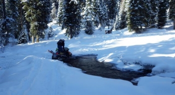
Park in the parking area on the west side of Hwy 203 across from NF-7785 (Catherine Creek Ln. toward North Fork CG). This is not a SnoPark so permits aren't required, but it isn't plowed regularly so it can be hit and miss for parking. Alternately, drive up Rd 7785 east from the highway. It is plowed for about a mile to the camp and you can park on the side of the road where it widens by the camp. The snowmobile ride is not that technical, other than a stream crossing. These aren't heavily used snowmobile trails and they are not groomed so you might experience some downed trees.

Take a quick snowmobile ride along Catherine Creek to North Fork Trailhead. Then, to get closer to the described route you have to cross the creek on the newly installed bridge from 2014.

By car, you could try to forge down this road, which is relatively flat all the way to the trailhead. You'll likely have to park at the North Fork trailhead if you make it that far, and head up the road by skis which will be a long slog on the road but you won't have to put skins on for the ski out when you're done.
Trail data mapped by Brian Sather, on Feb 18, 2013 · Last update: Mar 30, 2016

Waypoints

North Fork Catherine Trailhead

45.15362, -117.61649

Parking — Parking area big enough for trailers, on the west side of the highway. No snopark permit required.

45.12304, -117.7007

Squaw Creek Trailhead

45.15926, -117.5568

High Hat Butte

45.1914, -117.5381

Squaw Butte

45.18059, -117.56916

Avy Path — Seems unassuming, but ridge must load and drop. Significant signs of avalanche. Be vigilant and stay safe for the next second of the trip. During high avalanche danger seek an alternate route at this point.

45.17548, -117.55206

Avy Path — One of the bigger longer avalanche paths from Squaw.

45.1775, -117.55355

Burn — This part of the basin is an old burn. Try to stay to the right (east) along the edge of the burn for best safety and visibility. The trees are thicker to the east down in the creek.

45.17893, -117.55554

Photos

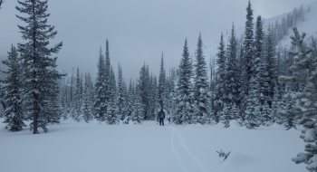
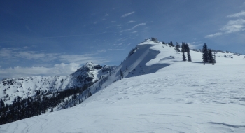
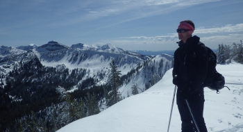
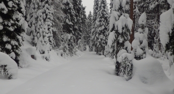
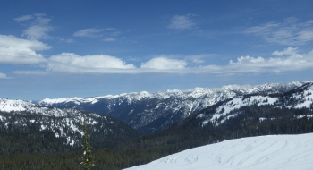
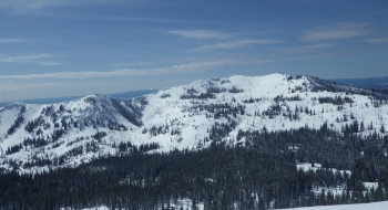
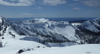
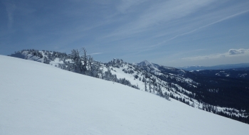
Looking back down the Squaw Basin, with Burger Butte in the backdrop.The snowmobile road up. Looking Northeast into the Minam Drainage from the far saddle. Looking across the Wallowas, with Eagle Cap visible and China Cap on the right.
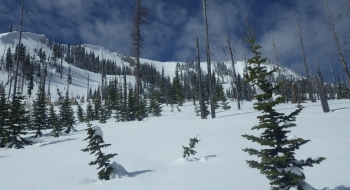
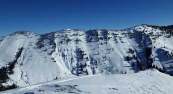
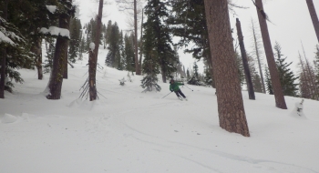
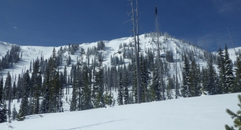
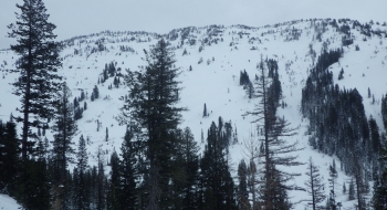
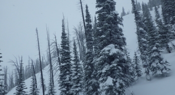
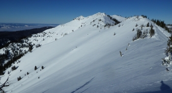
A look at the eastern ridge of the basin, pictured from Squaw Butte.Skiing in some of the big, but open, trees of Dig Doug on the east aspect of Squaw ButteSome of the avalanche paths on the eastern flank of Squaw Butte ridge.Squaw Butte as seen from the eastern side of the basin.A look at some of the northeast aspects that can be skied. Squaw Butte is visible as the 2nd ridge back.
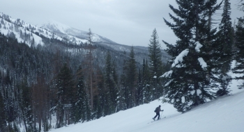
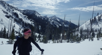
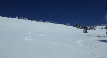
Flank of the eastern ridge of the basin.Papoose: A little knoll worth skiingHiking up the trail, with Burger Butte in the backdrop.Looking south. Burger Butte is on the right of the picture.Ski tracks on Bass Drum.
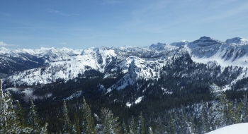
The creek crossing used to be difficult before a bridge was built. In the middle of Squaw BasinLooking southeast at High Hat Butte from the far ridge.A magnificent view when arrive at the top of the ridge. The north wall on China Cap visible in the background.