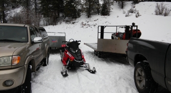
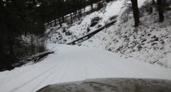
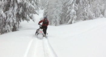
For a quick early morning or afternoon snowmobile trip, Ladd Canyon to La Grande Watershed offers lots of "trail" riding with plenty of sidehill opportunities along the way. During the summer, this is the access point to the La Grande Reservoir (Watershed). After taking exit 270 from Interstate 84 eastbound, you drive about 2 miles up the road before parking in the large pullout (no SnoPark permit required). Snow depths in these areas are generally less than further south in the Elkhorns, or the Wallowas, but there is plenty of snow for machines. The area gives you approximately 2000-3000 ft of elevation gain to work with.
There are many side (spur) roads in many directions, so make sure to keep track of which roads you take--especially when new, falling snow covers your tracks. Avalanche danger is minimal with more mellow terrain. The ridge above the East Fork Clear Creek can be hazardous, as wind funnels snow up the hill and accumulates in large snow drifts.
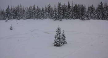
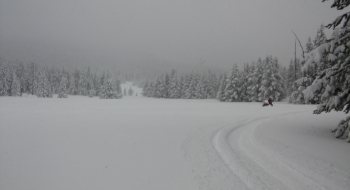
About 19 miles in, Beaver Meadow provides a fairly large meadow for the machine to eat some pow after a storm drops new snow. The creek does run through the middle of the meadow, so make sure there's plenty of snow before diving off into the snow. You can keep going up the road for more sidehilling, and eventually you will pop out on the 73 (Anthony Lakes) or 51 (Starkey) Roads--but I'd recommend a GPS or an sled partner who's familiar with the terrain.

