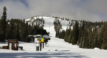
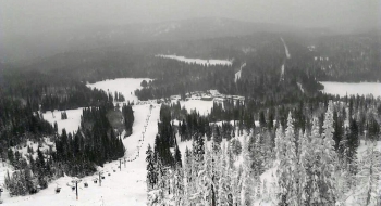
Anthony Lakes Mountain Resort Trail Map. Anthony Lakes Ski Area is 19 miles west of I-84 at North Powder. The ski resort has 21 official trails spread across 1,100 acres of U.S. Forest Service land in the Wallowa-Whitman National Forest. We've mapped out their ski runs and add other beneficial trail data using our same great, proprietary mapping technology. If you skied or snowboarded every (official) trail at the ski area at least once, you could get a max 7,178 ft of vert.
The chair is open Thursdays-Sundays (and holidays) from 9am-4pm. They tote 20% beginner, 38% intermediate, and 42% expert for trail difficulty. There is usually a terrain park open in the later season, after they get some serious snow.
Ski runs include:
Broadway, Holiday, Chicken Out, Paint Your Wagon, Rock Garden, Variety, Schuss Ally, K2, Upper College, Lower College, Trouble Creek, Starbottle, Tumble Off, Avalanche, Vista Drive, Grouse, Hip Hop, Road Run, Claude's Run, and Bert's Run.


