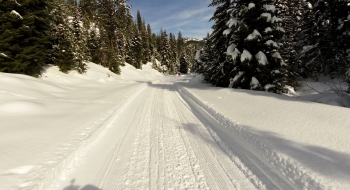
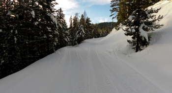
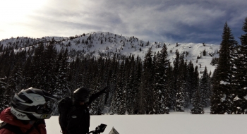
This old mining town has some wonderful groomed trails and nostalgic sledding around inactive and active mines. A trip through Bourne is a town crazy deep in the mountains, featured in the Sci-Fi Channel show "Ghost Miners." There are some private areas you must be cautious about and some wilderness lines up high, but otherwise the open ridges up high offer some fun climbing and terrain challenges.
Trail Description
Trail data mapped by Brian Sather on Mar 20, 2017 · Last update: Mar 22, 2020
Waypoints
Sardine Stream Crossing — Warm creek.
44.84682, -118.20482Cracker Creek crossing — Can be difficult
44.85315, -118.2098End of plowed road
44.77772, -118.19736Video to Cracker Saddle
44.86944, -118.21954Video of Cable Cove
44.86371, -118.27588Parking in Sumpter
44.74932, -118.20832Downtown Bourne
44.8245, -118.19739Photos