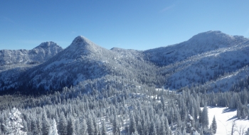
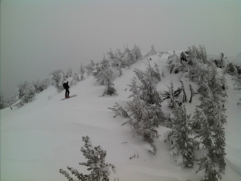
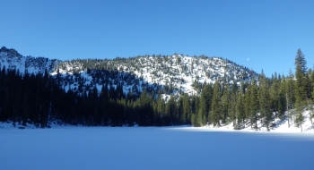
Angell Basin and the surrounding slopes are popular for backcountry skiing and snowboarding in northeast Oregon. The peaks boasts easy access by car at a relatively high starting point at 7,000 feet. The basin is a short tour from the Anthony Lakes Ski Resort parking lot. Because of the winter recreation, the road is plowed regularly. The ski area is generally open Thursday-Sunday and holidays, but the backcountry is always open.
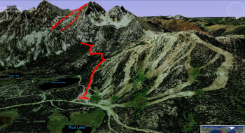
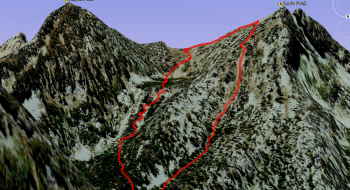
The basin is somewhat sandwiched between the ski resort and the nordic ski area, so getting into and out of the basin is easy. Some ride the lift for a head start downhill to Hoffer Lakes and then up into the basin. The other route is to follow "Road Run" (far left when looking at the resort) up from the parking lot and then catching the skin tracks that head left off of the groomed run. The above GPS tracks follow that route to Angel Basin.
Directions to the start
- Follow Anthony Lakes Highway (Forest Road 73) from Baker City or if traveling east in I-84, take the North Powder exit to cut over to the Highway.
- Drive time is about 1 hour from Baker or La Grande.
Restrictions: Snow Park Permit required.
Elevation at top: 8,600 ft.
Vertical: 1,100 ft
Weather: Check weather conditions at LG Weather.
