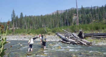
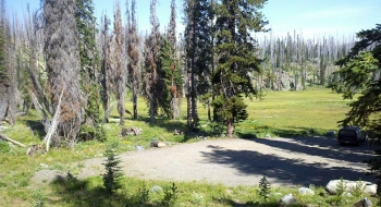
This eclectic trail provides raw backcountry travel through cow pies, burnt timber, weeds, and sporadically disappearing trail all the way down to the Imnaha River, where you may have some difficulty getting across. That would be extremely disappointing if the flow is too high, because I'm not sure what Plan B would be from there.
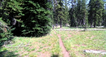
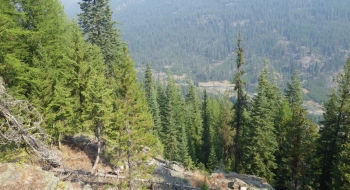
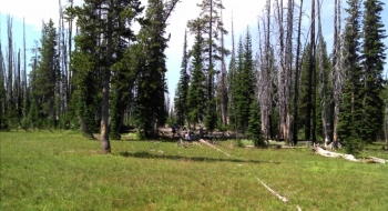
It all begins with a trailhead that is well developed enough to dupe you into thinking there will be a well established trail from it. It meanders through some open pastures near Sugarloaf Reservoir, which isn't really visible from the trail. Around the Sugarloaf Trail intersection there is a lot of confusion with cow tracks and not very good signage so you have to work up toward Sugarloaf Mountain, or to the right of it to try to find the trail and get up over the saddle to pick it up again as it begins to descend down after crossing the wilderness line. As it heads down Deadman Creek the trail gets progressively easier to follow when it gets in the timber. Eventually the Imnaha comes into sight and you enjoy the descent down to check your fate.
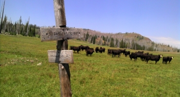
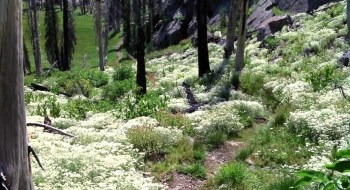
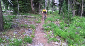
On a mountain bike, it is a very pleasing ride from just below Sugarloaf Mountain down to the trailhead. It is best to use it to finish a loop by either climbing the Mud Lake ATV Trail or come from the Russel Mountain side. It is also a good trail to climb to get on the Sugarloaf Trail. Although the singletrack is rocky in spots and includes a few stream crossings, most intermediate mountain bikers will love this trail for the challenges and ripping descent through the meadows and burnt snags. The last few hundred yards before arriving back at the trailhead are rough and fun for advanced riders. From the Sugarloaf Trail, just above the reservoir, the trail disappears in the open meadow so you have spot the trail sign at the bottom of the meadow and aim for that. There are usually cattle milling around.
Trail Notes
- 0.0mi. Deadman Trailhead
- 1.8 Sugarloaf Reservoir is to the left of the trail as it disappears (or seems to split). If you get lost, aim for the saddle to the right of Suglarloaf Mountain.
- 2.6 Cross over the saddle, which is the high point of the trail at 7471'
- 6.2 Arrive at Imnaha River and look for crossing, probably a bit upstream from where the trail comes out. The South Imanaha Trail is on the other side and a junction with the Lick Creek Trail.
