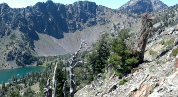
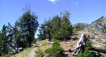
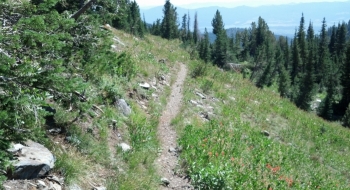
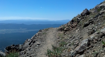
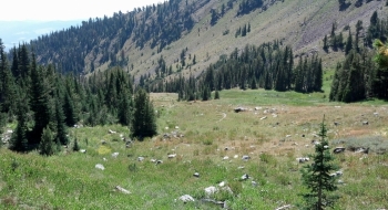
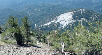
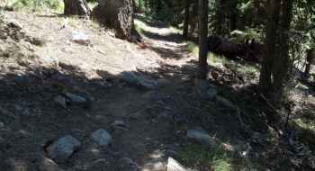
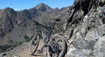
Props to the Forest Service for the gumption to list Twin Lakes as a mountain bike trail. Most people wouldn't consider it on a bike. It is gnarly, awesome, and beautiful. For the brave and expert rider, try this awesome challenge as a downhill for a true wilderness and alpine feel, yet legally endorsed by the national government for bike use. The Twin Lakes Trail is only 5 miles long with about 4.5 miles of good riding, but the quality is so good it is worth getting up there. It would be difficult to climb the trail on a bike because of the rockiness and constant obstacles, but as a downhill it is manageable and a fun challenge.
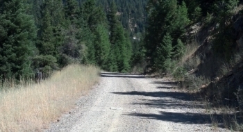
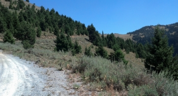
You can do a counterclockwise loop with a punishing climb on a gravel road from near Phillips Lake, up to Marble Pass. After a brutally steep stretch through the lime quarry, the road opens up to a Galibier-like finish at the trailhead for the Elkhorn Crest Trail. It is possible to drive a high clearance vehicle to Marble Pass if you want to start there and maybe shuttle a car to the Twin Lakes Trailhead or near the west end of Phillips Lake. At the Elkhorn Crest Trail, the singletrack begins on one of the most scenic mountain bike trails anywhere. After a few breathtaking miles there is a connection with the Twin Lakes Trail. Take a fantastic plunge down the mountain via the scenic lakes with Rock Creek Butte, the tallest of the Elkhorns, as a backdrop. Be careful on the trails because many of the rocks are razor sharp and there is plenty of cliff exposure on the trail.
Trail Notes (for doing the whole loop)
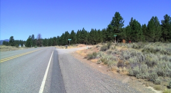
- Start at Deer Creek Rd turnoff off Highway 7 but stay right on Larch Creek Rd. You will follow the main road here all the way to Marble Pass. The road to the left is Deer Creek Rd., which will be the return route.
- 6.4 mi. arrive at Lime Quarry and travel through the steepest part of the road.
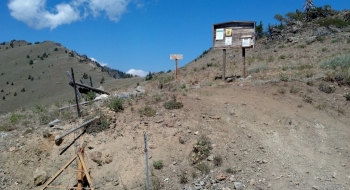
- 9.2 Marble Pass and beginning of Elkhorn Crest Trail.
- 12.9 Junction with Twin Lakes Trail 1633. Take this trail down to the lake. The switchback section is not well maintained and full of scree, basically making most of it unrideable. Once you get closer to the lake the riding starts to get good again.
- 17.6 Arrive at the Twin Lakes Trailhead. This ends the singletrack. Go left here for a shortcut or follow the road.
- 20.3 Intersection of roads at Lake Creek. Continue straight and follow the main road (Road 6550) back to the highway.
