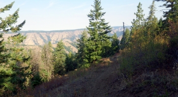
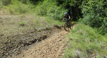
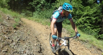
The trail begins the only way it can, by switching back repeatedly on the canyon walls. Many of the switchbacks are tight and rocky, but the trail "straight" sections are safely rideable. However, riding back up them will be most difficult as the climb begins to get steep after leaving the stream.
Near the bottom, a creek crossing gets the trail headed straight for the south fork of the Walla Walla River. Some of the vegetation can impinge in the trail in this section. Also, loss of vegetation due to some past fires caused 3 sections of mudslides across the trail but the trail has been restored well through that section. At the bottom of the trail a bridge will lead you right onto a "T" with the South Fork Trail.
Getting There
- From Langdon Lake near Tollgate, look for the Jubilee Lake sign and turn onto this paved road.
- Drive 0.3 miles and turn left at the sign that points to Target Meadows Campground. This is a gravel road
- After driving 1.5 miles on the gravel, there will be a right turn marked by a sign for the campground.
- The campground is half a mile down this road. Continue driving through the campground for another half mile to the trailhead parking, where the road terminates.
- Trailhead location: N45 48.914 W118 04.971

.jpg)


