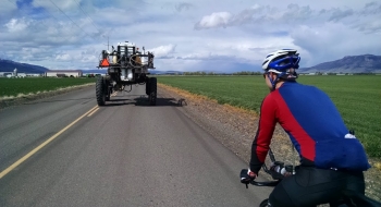
After some straight highway riding out to Union, cut up to Cove on one of the most impressionable roads in the valley. Adjust ride direction based on wind.
Trail Description
Trail data mapped by Brian Sather on Sep 6, 2009 · Last update: Apr 18, 2016
Photos
