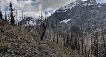
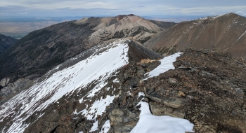
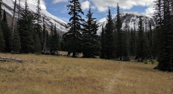
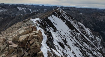
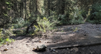
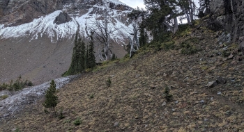
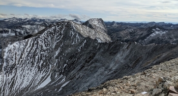
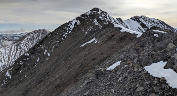
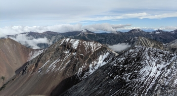
This is a true climber's trail, rising quickly up to the cirque of Thorp Creek Basin where you can get on the east ridge of Sacajawea Peak, which takes you up to the highest point in the Wallowa Mountains. The trail takes you through several recent fires before entering the sparsely treed and mostly barren and flattish basin that is your final reprieve before the summit push. The entire time you have visuals of the flanks of Sacajawea with its interesting limestone and basalt features. The ridge climb has loose rock but overall good purchase to aid your ascent. You'll have to stay heads up to follow the trail here but it mostly stays on the top of the ridge. There is nothing really technical about the climb, just a couple seconds of low-angle scrambling just before the summit. As should be expected, the view is spectacular at the top, especially of the Matterhorn boldly emerging on the sharp ridge to the south.
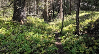
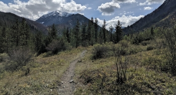
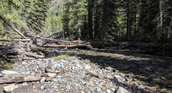
The initial stretches of the trail wind through the woods and across a creek before going sharply up a treed slope with aggressive switchbacks (not well suited for stock). You get a glimpse of some cascades and falls of Thorp Creek as it wraps to the south side of the ridge. Soon you emerge into the beautiful basin and march through sandy glacial silt along the creek. There are several camp spots off of the trail. Early in the season there will be a lot of runoff, making the regular stream crossings difficult. Otherwise, you'll mostly be able to follow the trail through the basin where it crosses the creek once or twice. The trail will be more distinct at the far end of the basin on climber's right where it will wrap around the ridge and gain the east ridge from the south. With snow on top, you'll need some self-arrest tools and other equipment to make the final pitch.
The trail has disappeared as an official trail from many maps, but it is well used and distinct in person, even on the entire ridge scramble up to the summit. What is missing are trail signs marking it and there are a couple confusing places but otherwise it is straightforward and upward. There will be water available at many places near the trail.
We also have a panorama image at the summit.
Restrictions
NW Forest Pass required at trailhead, wilderness restrictions.
Notes
- 0.0 mi. At exactly 2.0 miles up the Hurricane Trail, look for a distinct trail to the left that will take you over Hurricane Creek, hopefully on a tree bridge. There is an open meadow on the other side where you pick up the trail that goes directly through the meadow and into the trees.
- 0.4 Cross Twin Creek which should be an easy crossing except during for early season run-off
- 2.6 Trail has some climbing reprieve as it enters the basin at 7,450'
- 3.0 Trail crosses Thorp Creek. The trail is never too far from the creek in the basin but you will definitely want to be the the west side of the creek at the upper end.
- 3.4 Look for rock cairns or any markings to find the trail as it turns south up the ridge to climber's right out of the rocky run-off piles at the upper end of the basin. Once you find the trail it clearly takes you around the ridge where you will have some final opportunities to grab water from Thorp Creek headwaters.
- 4.7 False summit with a great view and a nice visual of your final approach to the summit. There is a clear trail over to a short steeper pitch to the summit.
- 4.9 Sacajawea Summit (9,838' elev.)
