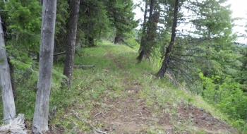
The Hoodoo Trail took a lot of trail hunting to find but now this prodigal trail will return to the fold. While it is only a mere 3 miles of singletrack (if you include Park Saddle Trail), it's all about quality and not quantity. Furthermore, this trail will serve as a piece of the pie that will be a stellar system of mountain biking at La Grande Reservoir. People often refer to the Eagle Caps as remote, but I've felt more isolated in the La Grande Reservoir area than anywhere in the region which is interesting given how close it is to La Grande. Perhaps the combination of non-motorized watershed warnings, gated roads, and mundane sub-alpine scenery keep people from coming but I find it to be a beautiful place to ride a bike.
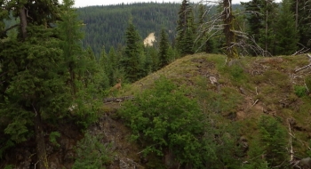
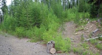
The Hoodoo Trail hugs the drop-off on a ridge above an interesting land feature--an atypical ravine or sink of some type in what is otherwise the typically more mellow undulating ground of the Blue Mountains. The trail follows the edge most of the way and then takes a premature exit from the ridge down to the road. On the map, the old trail continues down the ravine, but I've traipsed around for hours trying to fine the road trail bed from here and from the other end and I couldn't find the old trail. It would be nice to re-establish it because it would add some more compelling riding to the trail and make a more straightforward connection to the Hoodoo-ni Notch Trail.
This trail was cut out and maintained in 2014.
Getting There
This route is an access point from the West at the motorized terminus to the road, which is the closest you can get to the Hoodoo Trail by car. The gravel road is good up to the start location and follows the Park Saddle Climb route. You may want to access the La Grande Reservoir trails using this route if you are camped at Spool Cart or Red Bridge or you just want limit the amount of gravel road driving (6 miles of gravel compared to 20 miles of gravel from Ladd I-84 east side approach. This may also be a good connection into the system if you are coming from Frazier Winom OHV complex.
Trail Notes (if doing a loop from Park Saddle)
- 0.0mi. Start from Park Saddle at the gate.
- 2.3 Cross a Cattleguard at a fence and then turn right (south) to follow a road that is grown into more of a singletrack trail.
- 3.1 Arrive at a meadow at Elk Wallow Spring. where the trail disappears in the grass. Stay left of the big downed tree and aim for the left corner of the meadow, trending toward the top of the knoll. You should find the singletrack at the edge of the meadow there. Follow singletrack as it wraps to the north and becomes Hoodoo Trail.
- 5.1 Arrive at the road again and take a left to go back to the start
- 7.1 Arrive back at cattleguard where you left. Continue backtracking on road to Park Saddle.
- 9.6 Arrive at Park Saddle


