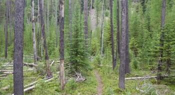
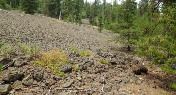
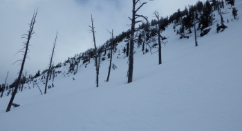
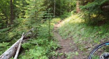
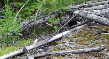
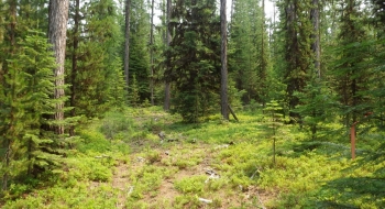
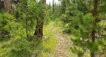
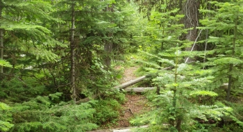
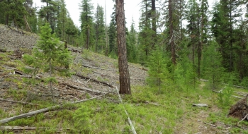
This trail is sweet, but just like every trail in the La Grande watershed it needs to be cut through and it will be ready to ride immediately. It features an early treat riding alongside a lava field where I had my first ever encounter with some white chipmunks. Later it travels in and out of some denser forested areas while climbing steady but unnoticeable.
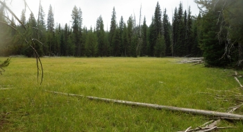
The trail meanders underneath the ridge for the most part until it reaches a meadow. After the meadow it heads more steeply up and through the notch below Jim Point (or mountain, butte, peak, or something) and comes down to an old road that will take you up to the main 5140 road between the Marion Jordan Trail and the Park Saddle Trail (to Hoodoo Trail).
The trail was cut through and maintained in late 2014
Trail notes
- 0.0mi Start by continuing up the 4305 road after it crosses Beaver Creek (not the road to the reservoir). You will go around a gate right away and climb steeply on the gravel road.
- 0.5 Take the first road on the left, which will climb very steeply then it will ease up.
- 0.9 Come to a junction where the Hoodoo-ni Notch trail crosses. Continue straight up the road, which looks more like a snowmobile cut at this point.
- 1.1 Come to the end of the road where there is a water trough. Look for the trail to continue off of this as singletrack.
- 2.0 Arrive at the lava beds.
- 3.0 Trail arrives at meadow and disappears into it. There are actually 2 meadows and you want to travel through them and to the far right corner of the second meadow to look for the trail to continue again. It climbs rapidly up to the notch from there.
- 3.4 Top out at Jim Notch and begin descent into the Hoodoo Creek drainage.
- 3.9 Arrive at a road and turn left to follow the road as it climbs up to the road.
- 6.6 Arrive at the main road. To return you can go left a short ways up to the Marion Jordan Trail or go right to the Park Saddle Trail to the Hoodoo Trail and closed roads back. Boulevard Trail is another return option.
