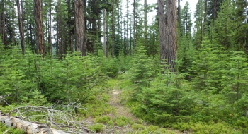
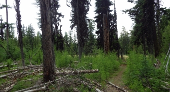
This is kind of a confusing trail. After seeing trail signs in different places pointing to the the seemingly phantom "Park Saddle Trail," I finally found it. I believe the old trail can be rejuvenated along the ridge over to Park Saddle, but for now this short section shown here serves as a good connector to the Hoodoo Trail and Marion Jordan or Jim Notch Trails.
From the north you can get over to it from a gate at Park Saddle on the 4305 road. Continue past the gate and down the road. At 2.3 miles you cross a cattleguard at a fence and then turn right (south) to follow a road that is grown into more of a singletrack trail. This is the beginning of the north end of this trail. About a mile later you arrive at a meadow at Elk Wallow Spring where the trail disappears in the grass. Aim for the left corner of the meadow, trending toward the top of the knoll. You should find the singletrack at the edge of the meadow there. Follow singletrack as it wraps to the north and becomes Hoodoo Trail. To stick with the Park Saddle Trail you depart the singletrack continuing south as it traverses a ridge and begins dropping down more steeply.
If you are entering it from the south end, look for the trail to start on a bermed road off of the main gravel 5140 road. It is basically singletrack there. The trial climbs steeply to a open ridge with no trees and then disappears. The trail traverses this ridge trending upward. Upon entering the trees again the trail appears to continue traversing. Look to leave the trail uphill in the trees and find an old road that will take you up to the Hoodoo Trail. The trail continues past the Hoodoo Trail over the mountain and into a meadow where you can find an old road continuing north that eventually connects to the more established gravel road from Park Saddle.