Buck Creek Trailhead is a less-used access point to the Eagle Cap Wilderness. However, there is some rideable trail outside the wilderness. The trail and roads around the campground are more beginner friendly for family and friends that want to just go a short ways, but if you want some more serious action, follow this route for a fun descent. You'll take the trail out toward Burger Butte and climb part of it until you reach the wilderness sign (or turnaround earlier if you want). Then, enjoy a fun descent where you can go back to the campground, or follow the route here and dive off riders-right down to Squaw Creek. You'll have to push you bike back out of there to the campground, or if you play your cards right you can convince people to pick you up in the car on their way out (see below for details).
Trail Notes
- 0.0mi Trail 1944 begins at the far end of Buck Creek Campground. A northwest forest pass is required at the trailhead.
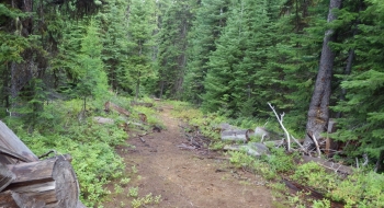
- 0.7 Trail intersection. Trail 1951 is to the left and heads down to Squaw Creek which will be the route you go do when you get back to this point. To continue climbing Burger go right and stay on Trail 1944.
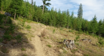
- 2.1 Arrive at the base of Burger proper where the trail takes a big single switchback across the west side of the slope.
- 2.5 Arrive at the wilderness sign where the trail wraps around to the north side of the peak. Begin descending what you came up.
- 4.2 Arrive back at the intersection where Trail 1951 goes down to Squaw Creek. Continue downhill to the north on trail 1951 to follow the route mapped here.
- 4.5 Go past a road on the left. Note that point in case you are climbing back up from Squaw because this is a quick way to get back to Buck Creek Campground.
- 4.9 Cross the Middle Fork of Catherine Creek
- 4.95 Ford Squaw Creek and then look for a trail to take off right uphill.
- 5.1 Look for a big boulder in the trail, and go left where you can hop up to the road. From here, you can descend downhill on the road to North Forks Picnic Area and Trailhead. You will have to ford Catherine Creek there, but cars drive through it so it shouldn't be a problem. From there, you can continue down the road to the bridge where the road comes down from Buck Creek and hopefully you've workout out someone picking you up.


 and west (to Buck Creek Trailhead). Picture is looking south at the intersection.")