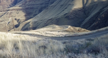
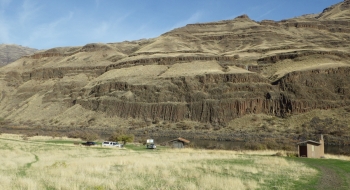
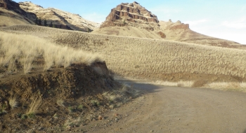
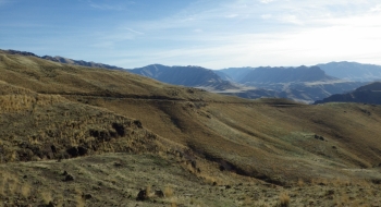
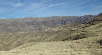
A compelling journey to the depths of hell--or the end of Oregon--depending on how you want to look at it. This ride takes you right into the heart of Hells Canyon to where the road ends at Dug Bar. Do it as an out and back and gain 10,000 ft of climbing. The road is going to be much more enjoyable on a bike compared to a car, except that you should fill all your pockets with patch kits and puncture sealant to take care of the goatheads that abound. There usually is someone around steelhead fishing, hunting, ranching, or killing wolves so if you have to you could probably catch a ride out if you don't act too liberal. Don't expect any other service when you go in this deep though.
Notes
- 0.0mi Start in the town of Imnaha and head downriver on the paved road.
- 6.0 End of pavement. Then you begin the first climb on dirt.
- 19.7 Cross the Imnaha on the Cow Creek Bridge, where the Imnaha River Trailhead begins.
- 22.3 Pass the western Nez Perce Trailhead
- 29.5 Pass the eastern Nez Perce Trailhead
- 30.6 Arrive at Dug Bar
