A scenic loop around Imbler and Alicel.
Trail Description
Trail data mapped by Brian Sather on Sep 6, 2009 · Last update: Apr 14, 2016
Photos

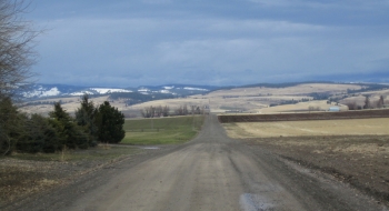
A scenic loop around Imbler and Alicel.
Trail data mapped by Brian Sather on Sep 6, 2009 · Last update: Apr 14, 2016