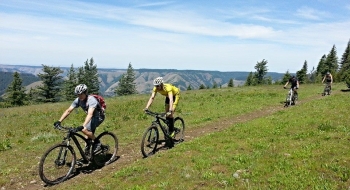
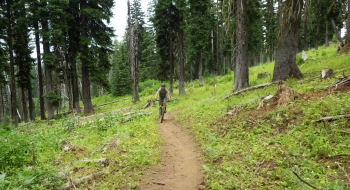
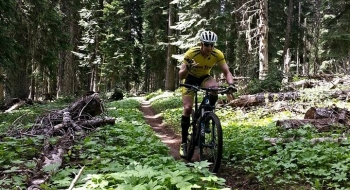
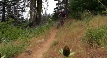
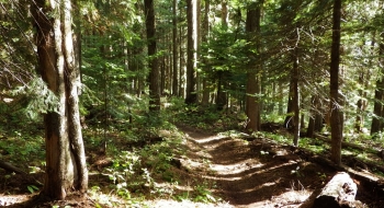
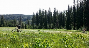
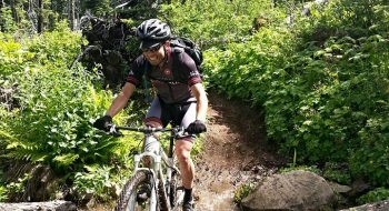
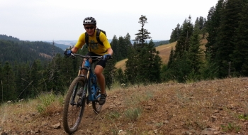
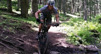
 One of the must-do signature trails of the region, The Umatilla Rim Trail is awesome mountain biking. It offers rolling terrain, without much difficult climbing. The path curls in and out of the drainages along the rim of the North Fork Umatilla River. This provides alternating deep forest and exposed rocky ridges with bountiful views. The trail has awesome flow and fun.
The trail on this map is just of the singletrack, shown one direction from the start near the highway (across from Andies Prairie) to the wilderness sign that shows "no bikes." There are several opportunities to take gravel or the paved Summit Road back to the start if you want to make it a loop. At Ninemile Ridge Trailhead (roughly half way), you have the opportunity to take a backcountry Horseshoe Prairie Trail back and avoid the pavement. Riding the trail as an out-and-back is a good physical challenge, and very fun both directions.
At about 13 miles out the trail intersects with the Lake Creek Trail. At the very end, you can loop back via a road. The trail continues on as the Buck Mountain Trail but is hardly used or maintained beyond the wilderness sign. In the spring, the motor bike guys are quick to cut out the blowdown after the snowmelt. During mid-summer the trail can become grown in and dusty. Usually a crew does some brushing of the trail out to Ninemile that gets it through the rest of the season.

.JPG)
.JPG)