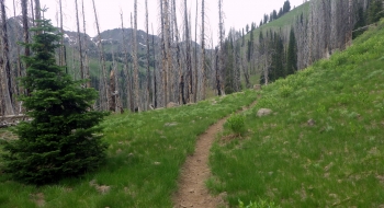
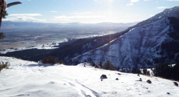
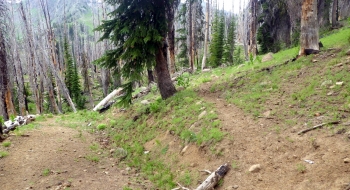
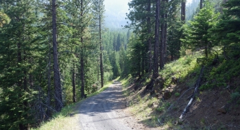
This high mountain trail takes a while to melt off, but when it finally does it reveals a nice side hill route above the chasm of Norway Basin. It is a rather beautiful spot to enjoy and doesn't seem much use because of it's difficulty to get too. It starts at an old miners road that rarely sees a vehicle, since it is gated off at the bottom in Cornucopia. So, that means you have a lot of human-powered vertical gain before you even reach the trail. The trail itself has a pretty good shallow and steady angle to it. Upon reaching the saddle, the view is spectacular into the Eagle Cap Wilderness. The meadow there is very nice with Norway Creek flowing serenely toward the valley below the trail. The saddle is where the trail intersects with the Sugarloaf Trail.
Trail Description
Trail data mapped by Brian Sather on Jul 25, 2016 · Last update: Dec 6, 2016
Photos
