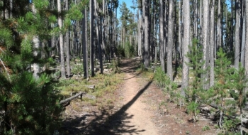
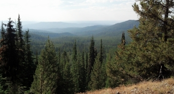
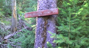
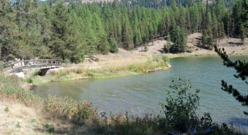
Boulevard has a sweet incline across morel country that eventually plunges quickly down to the reservoir. To make a loop you can climb this trail and then drop down Marion Jordan Trail. It isn't too bad of a climb once you get over the steep stretch just above the lake. Otherwise, if you can work it into a downhill, that is even sweeter (as always). The Rocky Point Trail is a side trail that can be taken up to Marion Point.
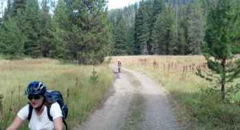
The non-motorized mandate of the watershed is our calling card to mountain bike the area. There is more trail up there too but more mountain bikers need to take it upon themselves to maintain the trails since it isn't on anyone else's agenda to do so. These trails were cleared in 2015.
