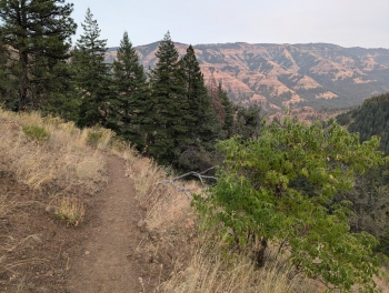
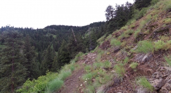
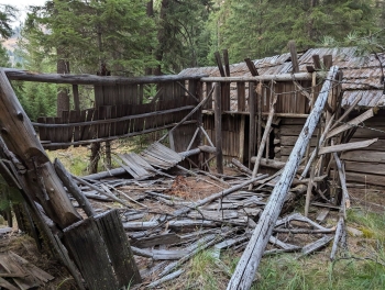
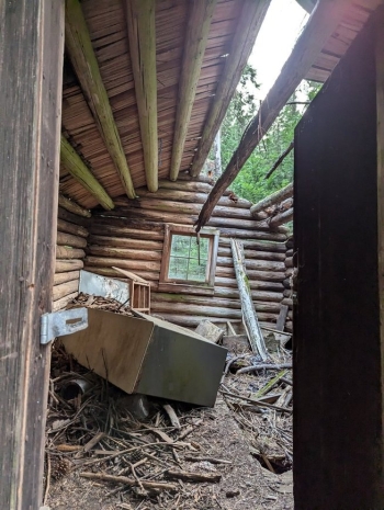
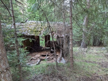
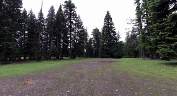
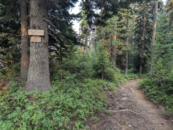
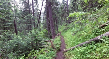
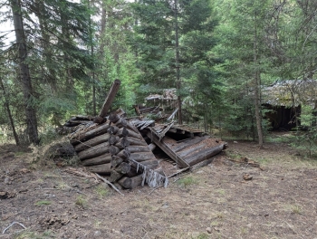
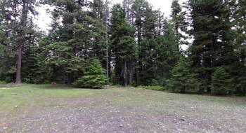
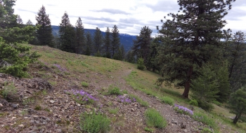
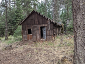
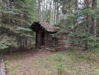
A trail in good shape that plunges down to the Little Minam River where a few old cabins exist from the Land Ranch. Recent years have seen a lot of equestrian traffic which has really widened out the trail. You can access the Little Minam trail at the bottom or cross the river (in late summer) to get on the trial on the other side of the Minam. It is a nice location where the two rivers converge with a wide open flat area that at one time was a working ranch.
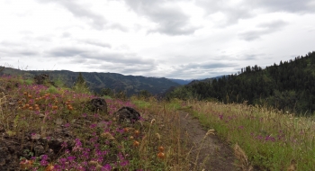
The trail dodges across the ravines on the way down, maintaining a fairly steady pitch. There aren't very many tight switchbacks, so it is well engineered to use the terrain features to get you up or down the hill. A few times it crosses some small streams. There is a good mix of open and treed aspects of the trail.
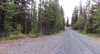
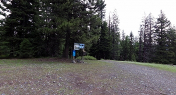
The gravel road Hindman becomes FS62 Road is 20 miles of mostly good gravel driving. It can also be accessed by the Mt. Harris Grade Road (also Rd 62). In either case, you are heading toward the Point Prominence area and there is a sign marking the trail entrance on the road. There are plenty of primitive camping opportunities up top if you want to make this a day hike and enjoy wild huckleberries or whatever.
