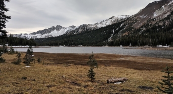
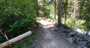
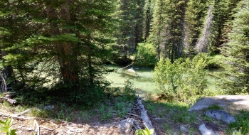
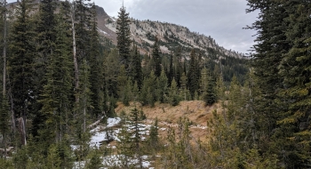
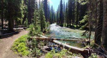
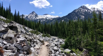
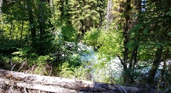
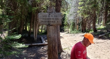
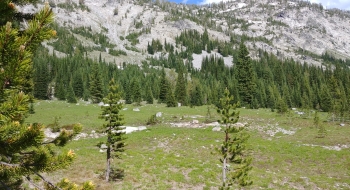
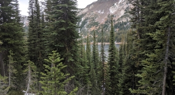
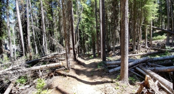
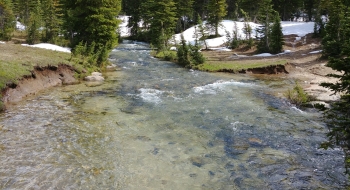
Minam Lake, following the Minam Lake Trail #1670, is originally an alpine, natural lake before irrigators built a dam for agricultural purposes. It now serves as the headwaters of the Lostine River, or rather the west fork. The hike along the river is a breathtaking, awe-inspiring view of the teal blue river water and towering granite peaks of the Lostine Canyon. Three prominent mountains offer gazing on the west side of the river: Elkhorn Peak (9233'), Glacier Mountain (9169')—not to be confused with Glacier Peak—and Brown Mountain (8944'). These are some of the tallest mountains in Oregon, so you'll want to stop and appreciate them; maybe take a few pictures. This trail is fairly easy for most due to the natural flow it maintains along the river. There are some steep sections, mostly at first, and a "rock garden" section. Proper footwear and hiking poles helps guide you through the granite remnants as you weave along the riverside.
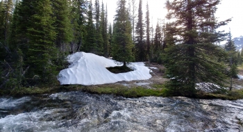
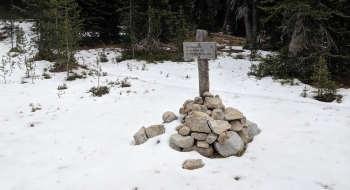
Snow is a concern on this trail; especially in the early season. Enough snow melts off by July that you can access the trail, but be prepared to deal with more snow as you approach Minam Lake this early in the year. At 4.6 miles on the trail, there is a river crossing to follow the proper trail. This is usually doable later in the year as the river flow drops substantially, depending on if the flood gates are open or not.
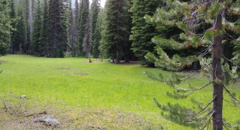
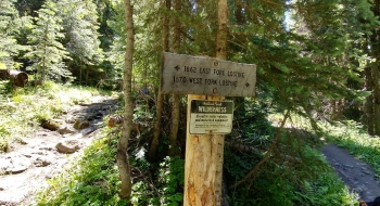
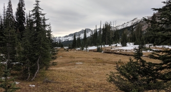
The trail flattens considerably in the final stretches to the lake, where the creak meanders through some nice meadows below the rocky ridges. It may be better to camp in these nice meadows rather than at the lake, since no campfires are allowed and things are pretty scavenged there. The water levels will vary too, so the look can be hit or miss. Eventually you come to the locks of the reservoir on the trail. Then the trail moves away from the lake so you an barely see it as you traverse around it. Eventually it comes back down near the south end of the lake where the Minam River used to flow out. There is a marked intersection for the pass over to East Fork or you can continue on forever down the Minam River.
Getting there
- Take SR-82 to Lostine, and stay straight on Lostine River Road (7 miles)
- At Still Creek, the road becomes Upper Lostine Road (11 miles) following the Lostine River
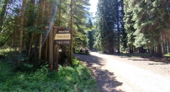
- Arrive at Two Pan Trailhead (and Campground)—there's a decent parking lot here
Trail Notes
- 0.0 mi. Start up the trail along the Lostine River from Two Pan Trailhead
- 0.2 Trail forks, stay right on the west fork.
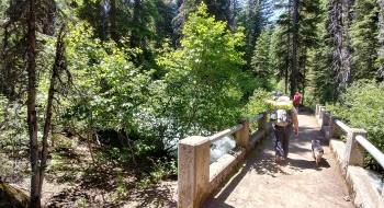
- 0.4 Cross the East Lostine River on a sturdy cement bridge.
- 2.8 Trail splits at intersection with Copper Creek Trail in a nice flat meadow area, stay left.
- 5.9 Arrive at north shore of Minam Reservoir
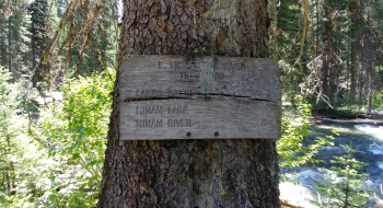
- 6.5 Trail junction. This isn't really the end of the trail, but it is the end of the name. You continue on with the Minam River Trail 1673.
