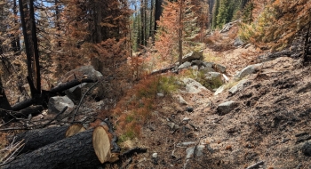
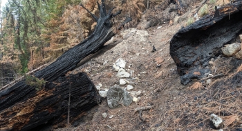
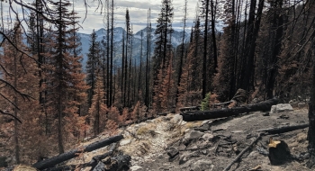
This route is in the business of serious climbing from the Minam River to plug you up into the heart of the Eagle Cap with a view of all of the high peaks. It really is a beautiful experience going from the pristine waters of the Minam and switchback-ing up through an old growth forest that has beautiful big ponderosa pines and douglas fir, although some took a beating during the 2019 Granite Gulch Fire, which burnt about 6,000 acres. It was a lightning caused fire that was allowed to burn mostly unimpeded. The fire was somewhat random and selective in what it burned, cleaning up a lot, but it did have some very hot runs on the steeper slopes that took out some big trees along the trail.
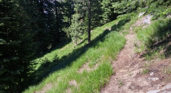
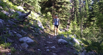
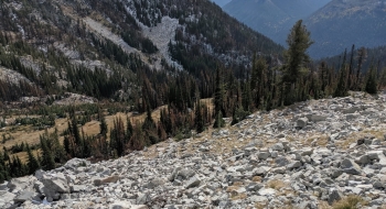
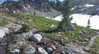
After the nasty switchback section, there is a very long and mostly level traverse over to the edge of Granite Gulch. Once you wrap around into it, the scenery instantly changes to sub-alpine and then alpine as you beeline toward the saddle. About a mile from the top, there are a couple small lakes to the west that can be accessed by a side trail. The top of the gulch gives some really interesting perspectives on the interior of the Eagle Cap Wilderness. You end up at a trail junction with the Copper Creek Trail as it tops out with a view into Swamp Lake.
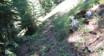
The trail starts off the upper Minam River Trail, just up river from the bridge at the Elk Creek Trail #1944. The trail is benched out nicely and overall in good shape with surprisingly little blow down (at least that is what I wrote before the fire). After the 2019 fire, the trail was really clean from some nice trailwork. It will definitely suffer some erosion on the steep slopes because a lot of flora burned and the dead standing trees from the fire will eventually fall across the trail. Hopefully it can stay maintained because it is a gem of a trail that doesn't see much use.