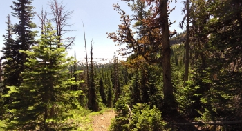
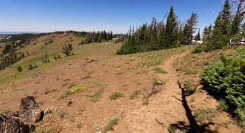
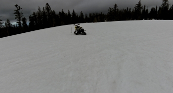
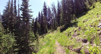
A very pleasant ridge route is what the Storm Lake Trail offers as it takes you along panoramic views over the Lostine, Goat Creek, and McCubbin Basin. Then the trail drops over the east side of the ridge and gets nasty as it heads for Little Storm Lake. One really steep, poorly developed section will be difficult to negotiate especially on horse or mule. The lush hillsides support bighorn sheep and mountain goats, and of course many elk. The lake is a nice high alpine lake of fairly decent size that sees few visitors. I'm not sure where Big Storm Lake is or Storm Lake (after which the trail is named), but the lake you'll find on this trail is "Little Storm Lake." Maybe it is named after a little storm that happened there. Judging by the snow in July, I'd say it gets some big storms.
There is a lot of trail confusion in this area. Each map tells a different story. What is featured here is the most well-used trail to the lake. Around where the trail goes on the east side of the ridge it splits and another trail stays on top of the rocky ridge but I didn't see this trail. There is a trail on the other side of the lake that switches back a few times up to the ridge to reconnect with the ridge trail and then disappears into the big meadow south of McCubbin Basin. Some Forest Service maps still show a trail that wraps around the basin to Goat Mountain and back down to Goat Creek Trail but I'm told this is hard to follow around the rim and then disappears at it tumbles over the edge. I haven't tried to follow any of these other trails but some bits of them are visible on satellite. When I was on the Goat Creek Trail I never saw a trail coming into it from McCubbin. Most maps don't show an official trail going beyond Storm Lake. I suspect the hunters get to where they need by that point and disperse to find their game.
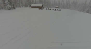
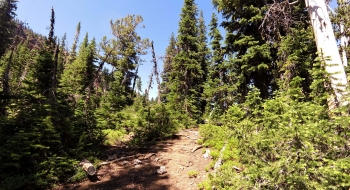
I had flies harassing me the entire trail and mosquitoes were thick at the lake in July. The trail was in fairly good shape and seems to be used a lot by stock during hunting season. There are a few springs along the way, just off the ridge. I didn't see a lot of fire pits or camps along the trail, but there was a serious horse camp about a half mile from the lake.
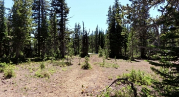
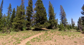
Get to the trail by taking the Little Bear Creek Trail or the Huckleberry Mountain Trail. Both start at the same location but split. The Little Bear Creek Trail is a shorter more direct route.