"GOAT" could stand for Greatest of All Trails, but in this case it does not. It will go down as one of he most horrendous trails I have ever traveled. It really has nothing going for it, except that it is a trail surface that you can follow for the most part, which is more than I can say about some other trails I've tried to find. So I guess you would call this the worst discernible trail I have walked. I actually came down it from the Huckleberry Mountain Trail but I'm featuring it here from the bottom because this is your best bet to get any semblance of enjoyment out of it.
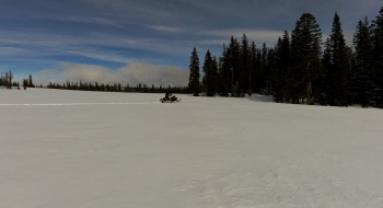
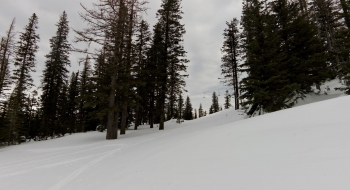
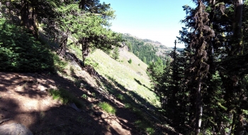
The biggest problem right now is the trees across the trail. At one point I was getting in only a couple footsteps between each tree and as far as I could see there were trees crossing the trail. Perhaps someday if it is maintained fully, it will be worth visiting again, but even then it has several problems. One is that you get no views until the very top, and there you might as well be on the Huckleberry Mountain or Storm Lake Trails both of which head opposite directions on the ridge where this trail converges with them. Another problem is how poorly engineered the trail is. The upper section is the worst, with very steep inclines and odd switchbacks where the hillside is falling apart and depositing many rocks on the trail surface. Then, there are weeds everywhere, presumably from the many sheep that used this trail back in the day. Yet another issue is the lack of interaction with Goat Creek, which is raging nicely. Not once do you cross the creek on the trail, which is probably a good idea, but at least give us a few teasers of the creek. There aren't any offshoot trail options either, except for a supposed trail up to Goat Mountain that seems to have faded away over the years. All-in-all if you're just wanting to get up to Huckleberry Mountain or Goat Mountain there are better ways to do this.
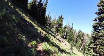
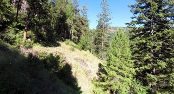
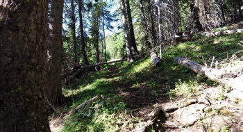
The bottom starts a ways up Bear Creek Trail, at a rock pile with a post in it and no sign (rightfully so). You quickly climb up to an exposed ridge way above the creek where the trail is barely holding onto the steep bank. Then, you head into a mellower section of trail that is as good as it is going to get. It meanders nicely in the trees for a ways with a more subtle incline. Then, you enter a section that has heavy blowdown that hasn't been maintained for an eternity. If you have the resolve to make it though that, you're greeted with an intense assault on a steep trail with loose rock that will leave you feeling violated by the time you get to the top.
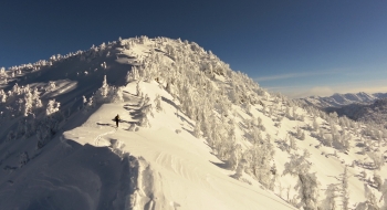
The trail disappears at the top as it enters a meadow. Perhaps the trail has started throwing in the towel before you can. You head to the top of this meadow to find a cairn at the ridge-top trail that is known as the Huckleberry Mountain Trail to the left and Storm Lake Trail to the right. These trails are infinitely better than Goat Creek so congratulations on finishing off that trail. If you're trying to come down the Goat Creek Trail, you might have difficulty finding the trail from the cairn. Just drop south (to the left) on the meadow looking for the trees and an extended ridge where the trails drops over it to the left. If you can't find the trail, consider that a win.