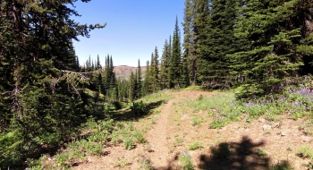
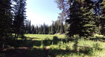
On a quality scale of awesome to crap, this trail covers the entire range from start to finish, in that order. The trail follows North Fork Catherine all the way to it's start and then goes up over a saddle on Meadow Mountain and painfully works its way down to Rock Creek and follows that down to the Minam River. The key feature of this trail is the lush beautiful mosquito den of Catherine Meadow. It is a huge meadow with a private land holding at one end and at the other end a public cabin with no amenities. The trail is maintained and gets good use to the meadow. Elk and other wildlife are plentiful throughout the entire trail.
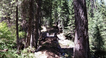
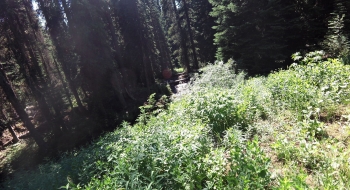
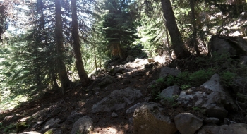
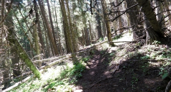
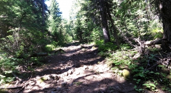
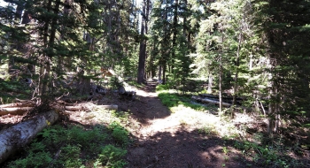
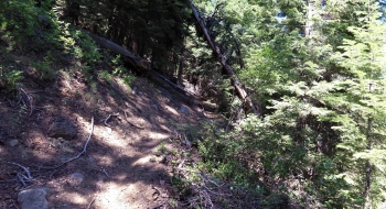
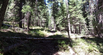
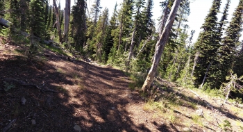
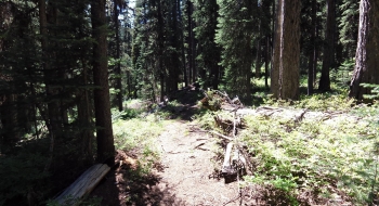
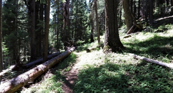
After Catherine Meadow, you immediately come to a junction with Crib Point Trail that goes up to Deadhorse Flat. After the junction, the trail crosses several meadows with a menagerie of tall plants that obscure the trail. In the mix are hidden stinging nettles. Visibility is usually nil through these sections so you never know when you'll step in water, trip on a rock, or get stung by a nettle. Once you get beyond these jungle crossings the trail goes through big trees with a mix of climb and flat on some mixed trail surfaces. Eventually you reach an upper meadow and camp spot where the creek is much smaller and the trees too. From there the trail takes on the climb to the pass with some direct horsemanship authority, leaving some stretches steep, rutted, and rocky. At the pass you meet the China Ridge Trail that goes right.
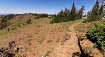
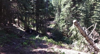
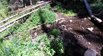
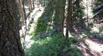
The view is pretty nice at the pass, enjoy it. I think the trail should take on a different name at that point. That way I can have a separate guide where I pile on about what a grievous trail this is the rest of the way. The good points are the awesome view of High Hat Butte at the top and the sweet new bridge at the bottom of the trail. Beyond that, I don't have anything nice to say about this trail. The trail surface is sloppy and rocky as you head down the grassy exposed part of Meadow Mountain, and it fumbles around in a poor design as it works down toward Rock Creek. The erosion is bad and even though there aren't many trees, they seem to have all made a point to fall on the trail. You know it is a bad trail when you don't see animal tracks on it. I only saw a couple elk tracks and one wolf track on the trail surface and they didn't last very long on it either. There is a stretch of about a mile near the creek and that is about your only good opportunity for water. The trail continues to flounder around downed trees and eventually make the intersection with Lackeys Hole Trail. After that, the trail crew must have gotten really short tempered because the trail gets steep and slaloms down toward the Minam where you find a magnificent new foot bridge across Rock Creek. Then the trail gets back to horrific downhill action until you end up in a flat along the Minam with a nice camp spot and an easy place to ford the river starting in mid- to late-July. You can pick up the Minam River Trail on the other side. Alright, that is enough bashing, because I don't want to take away from the good name this trail should have because it is really nice up to Catherine Meadow.
Trail Notes
- 0.0 mi. Start from North Fork Catherine Trailhead. This is a campground also with a few camp sites.
- 4.5 Catherine Meadow
- 4.9 Trail junction with Meadow Mountain Trail
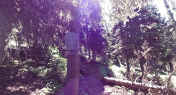
- 5.3 Catherine Cabin to the right on a side trail, in the trees.
- 5.5 Intersection with Crib Point Trail that goes up to Deadhorse Flat
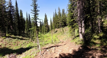
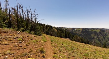
- 7.9 Meadow that appears to have some camp sites and old mine tailings on the hillside. There also is a trail that goes left (north), which might be an old hunting, mining, or simply and old trail bed.
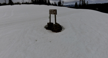
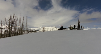
- 9.5 Pass on Meadow Mountain. High point of the route and also intersection with China Ridge Trail which goes right on the ridge.
- 11.3 Trail arrives close to Rock Creek, where you can get some water.
- 12.5 Intersection with Lackeys Hole Trail on the left.
- 13.5 Bridge across Rock Creek.
- 13.9 Minam River


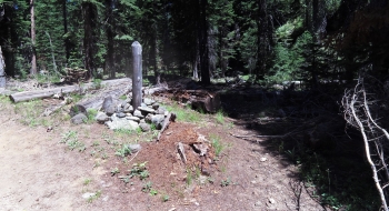


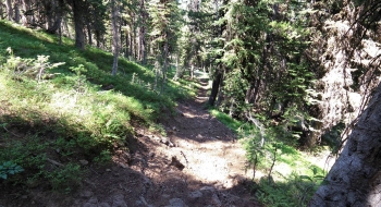


, just past Catherine Meadow.")


")