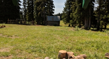
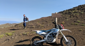
A multi-use trail that takes you aggressively up to the top of Cuddy Mountain, near Cuddy Point. The views are amazing at the top. You'll have some cows to contend with and some loose rocks, but it is a fantastic trail to take as a downhill on a mountain bike or uphill on a motorbike. Cuddy Point is a short ride out on a two-track. You can follow the road over to some Forest Service cabins at Buck Point too.
There is one trial intersection about a mile up where you will stay right. Then, up near the top is another intersection where you stay right again. It is featured here as a uphill ride. The trail head starts a short ways up the road past Brownlee Campground. There is a meager trailhead on the right side of the road, with a sign.


