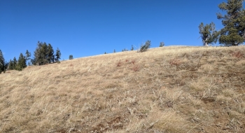
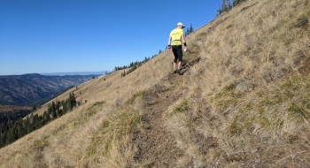
Jim White is a ridgetop trail in the southern interior of the Wallowa Mountains that takes people from the Little Minam River to the high grassy slopes of the Young Ridge area. It was traditionally a route for livestock and sheep to get to the once-more-fertile grazing areas above the Minam. There are several trail options off either end of Jim White, so it serves as a nice connector for making a loop of things, and the views aren't to shabby either.
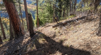
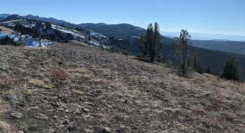
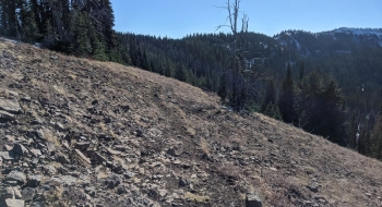
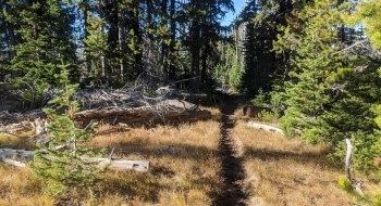
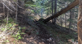
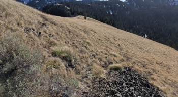
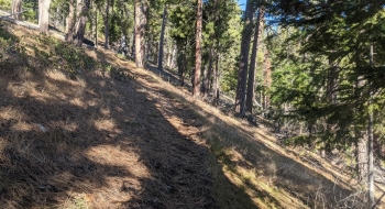
The trail itself is a nice and direct, starting near where Boulder Creek meets the Little Minam. It follows above the creek for a ways before taking a more direct route to get on top of the ridge. This appears to be a re-route of the historic trail. Once it gains the ridge you start seeing several rounded glacial rocks, presumably part of a ancient moraine and perhaps what Boulder Creek was named for. The trails goes through old burn scars and provides some views into the upper Minam before eventually gaining the other side of the ridge and following it the rest of the way. The very top end of the trail somewhat disappears in the grass and splits to join the Mud Springs Trail near Little Pot Creek Trail. Continue north on the trail to the junction with Lackey's Hole Trail at Cartwheel Ridge.
Trail Notes
0.0 mi. Start from the Red's Horse Ranch Trail near where it crosses Boulder Creek.
2.6 Trail gains the top of the ridge at 6,123' elevation.
3.0 Old trail takes off to the left, which is still used by some. It merges again a short ways up.
7.4 Trail tops out at a point 7,641' high. Stay left down the top of the ridge to continue to Cartwheel Ridge or go right to take the Mud Spring Trail.
7.7 Little Pot Creek Trail takes off to the left down the drainage. There is a sign on an old dead tree.
8.8 Trail intersection for Cartwheel Ridge and Lackey's Hole Trail.