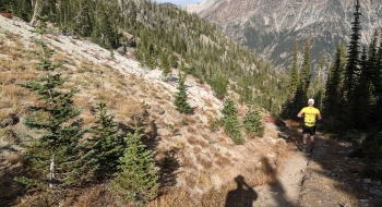
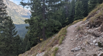
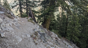
This route is one of the shorter lake hikes in the Wallowa, but still steep like all the others. It plants you in a nice basin with a beautiful lake. The trail starts in Shady Campground near the end of the road up the Lostine Corridor. The trail takes a number of switchbacks in an engineered fashion before leveling out a bit and then taking a steeper direct un-engineered path on the final stretches to the lake. There is no other trail out of the basin, although on the far side of the lake there is a goat trail up to a saddle that provides a nice view into the North Minam. From some places on this ridge you can see both Steamboat and Long Lakes.
A Northwest Forest Pass is required for parking.