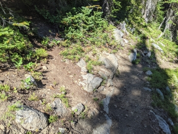
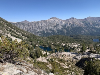
Very nice lake, very bad trail. While the main trails in the Lakes Basin are well-troden mini-highways, this trail isn't acknowledged by the authorities anymore and isn't getting any maintenance or direction for hikers to use it. Older maps show this trail, but the existing doesn't it follow the old route so well. It takes you rather steeply up to Razz Lake with a nice shoreline with steep banks on the other side. It has the characteristic look of the high mountain lakes in the Wallowas. If you're looking for a lakes basin experience with less crowds, you'll have to fight your way up this trail for a nice reward. There is also a upper lake that is a fairly easy off-trail walk.
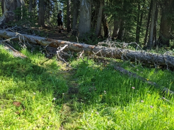
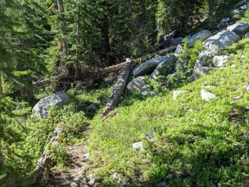
To find the entrance you'll have to keep a close look out or use the GPS coordinates to lock in. It takes off steeply and carelessly at the start and then eases into a log-hopping excursion with many opportunities to stray from the ragged trail. There was a lot of avalanche debris across the trail in 2023 just closer to the top.


