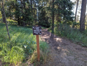
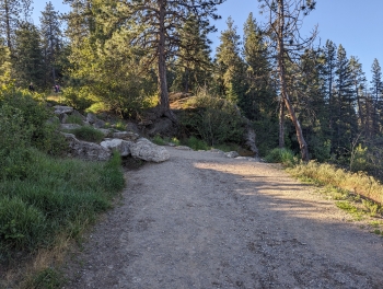
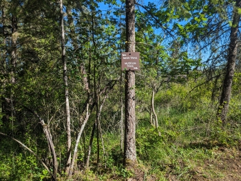
Tubbs Hill Park is a natural area in downtown Coeur d'Alene, encompassing 165 acres of public land with a decent little trail system. The park is a peninsula on the lake of the same name as the town. This is a very popular area for the community with more than 364,000 visitors/users between summer 2022-2023. They are only two, officially named trails: the Main Trail and the Summit Trail. A double-track "fire road" wraps around the park at mid-elevation, assumedly giving first responders access to various points in the park. The road could be good for a trail run, but other than that it's not something you'd want to hike.
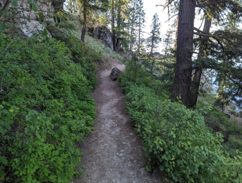
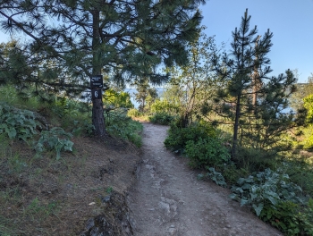
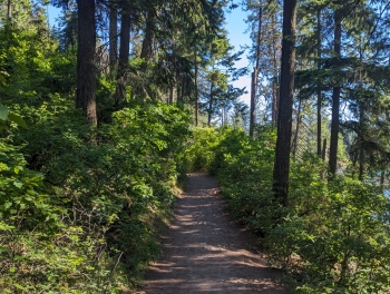
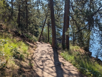
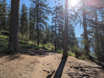
The Main Trail roughly follows the perimeter of the peninsula and is more-or-less 2 miles. It can be hiked clockwise or counterclockwise, but most of the locals go counterclockwise. This trail is fairly mellow with an average grade of around 1%. Your ascent and descent is almost equal, so it makes for an easier hike for younger kids and the family. Approximately 1/2 mile from the trailhead, there is a trail that takes you to Corbin Point, which offers a nice beach area, popular for swimming and a stopping point for SUPs and kayaks. On the east side of the park, about 1.4 miles from the trailhead, you'll reach a suspension bridge that crosses a ditch. Lastly, you have to cross a road to pick up the trail again shortly before reach the end of the Main Trail.
The Summit Trail ascends and descends north-to-south, bisecting the peninsula. There are 4 access points to getting on the trail, which means there's 12 combinations you could use to ascend/descend the summit. This trail is steeper with a 17% grade and takes you to the summit of Tubbs Hill. The summit elevation seems disputed with official sources suggesting 2533'; however, our on-the-ground data suggests the true summit is 2543' in elevation.