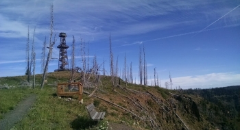
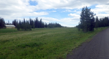
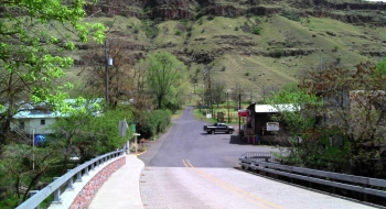
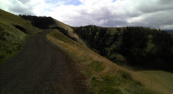
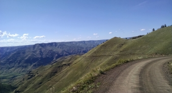
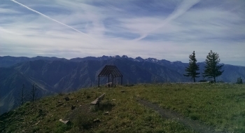
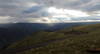
Imnaha offers a magnificently beautiful bike climb on a gravel road into Hells Canyon National Recreation Area. The road is in good shape, albeit narrow and not recommended for trailers, but who cares when you are on the narrow tires of a cyclocross bike. The bulk of the steep and hard climbing ends at Buck Point, where it eases off for rollers for several miles. The climb eventually ends at Hat Point Lookout after a mere 6,500' of elevation gain. If you didn't get enough pedaling, you can continue on down the Western Rim National Recreation Trail. On the way back down, you can ignore the warnings to stop and cool your brakes but at some point you might need to rest your hands.
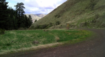
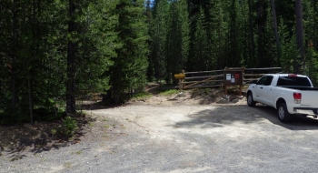
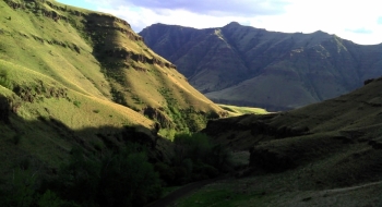
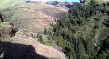
The gradient is consistent at around 10 percent the entire way to Buck Point, as you weave through a canyon along Deer Creek shortly into the climb. After passing the Entering Hells Canyon Recreation Area sign (at the Deer Creek Trailhead), the road bends around and eventually arrives at the Five Mile Overlook. Here you start to see the rugged terrain of the Hells Canyon area with a backdrop of the Wallowa Mountains. The climb borders on epic from here, as it hugs the steep walls of the canyon on a narrow cut of road. Eventually it begins to top out near Buck Point.
One problem with Hell is that it is Hell. Firstly, there are goatheads. Secondly, it is hot as Hell in the summer. Thirdly, there are rattlesnakes everywhere. So, this climb is best attempted in the early summer just after snow melt, while the goatheads are in their infancy, the snakes are hiding out, and the hills are green.
