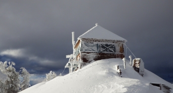
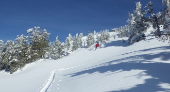
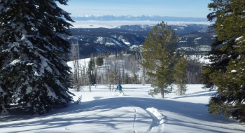
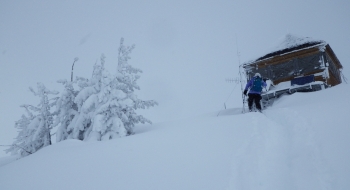
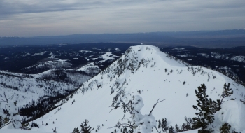
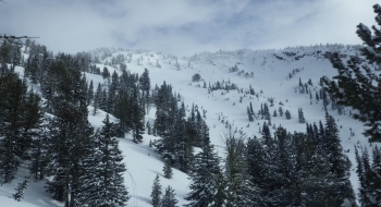
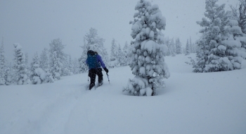
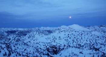
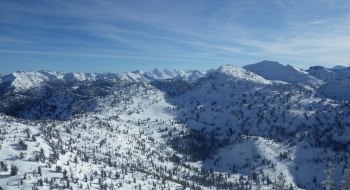
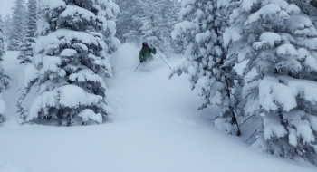
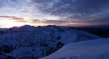
Mule Peak has some sweet skiing on just about every side of of it. The southwest flank offers some exceptional low angle tree skiing. Snow unloads on the mountain too, with 2 meters or more usually by mid-season. Plus, its got one of the wickedest lookout huts at the top. Built in 1924, Mule Peak Lookout is the second highest house in Oregon, ever since one fell off of Mt. Hood summit and one not far away on Lookout Mt. was demolished. (Mt. Scott at Crater Lake is currently the highest.)
Use caution on the track shown here as it does cross an avalanche run-out as it goes through Catherine Creek drainage. A safer but longer route avoids hiking under some avalanche paths. The same route can be easily skied back in reverse. Follow the path exactly as shown to avoid running into a difficult to cross culvert (see marker) or the North Fork Catherine Creek. Both can be very difficult to cross if you run into it farther downstream.
Access
Snowmobile: Park at the SnoPark at Catherine Summit on Hwy 203. A permit is required. Follow Rd 77 east on snowmobile to the warming cabin at Taylor Green. The snowmobile ride is on groomed trails and then some ridgetops up to Flagstaff Butte and beyond. Take your sled past Taylor Green and then look to access Flagstaff Butte which has a visible radio tower. There are several ways to access this but the easiest is to stay on the groomed trail until you have come around to the southeast of the butte and follow a road up the ridge. Stay on the ridgetops as you progress toward the burn. See pictures for the one crux ridge that might not be worth messing with if snow is deep or cornices are big. If you can get past it and up to the wilderness boundary, that will save about 30 minutes of skinning. Park sleds at the wilderness boundary just before getting to the slope.
