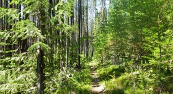
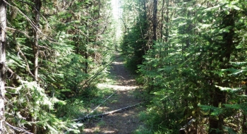
A short singletrack trail of which I can't find a name for and there are no trail signs. I happened upon this trail while riding up a snowmobile trail and found some good singletrack, needing only some minor tree cutting. However, the northwest end of the trail joins some old roads that are basically impassable. Cutting a singletrack through the small trees on 1 mile of road would make a fun loop that connects to Road 4305 at Hoodoo Creek. It will be more fun as a downhill once this is cleared and we can ride out the road for a warm-up and then climb up through the notch and take it back to the reservoir. It could also use some work to go around the two meadows, instead of directly through them.
Trail Notes
- 0.0 mi. Start on the Marion Jordan and follow the primitive road north as it dissipates.
- 0.4 Come out on the meadow and look for the singletrack entrance on the farthest north end.
- 0.7 Arrive at another meadow where the trail is very feint but travels right through the heart of the meadow.
- 1.1 Cross the snowmobile trail, which is also a route to head over to Road 4305
- 1.8 Sidetrack ends on a primitive road that is impassable.

