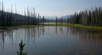
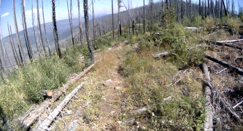
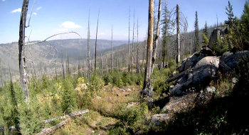
The route shown here is a strenuous hike or good trail run, shown here as a connection between Indian Crossing Campground to Twin Lakes Campground on either end. This is a steep trail climbing from the Imnaha River to Twin Lakes. The route starts up the South Fork Imnaha Trail 1816 and fording the river to Trail 1874 at Blue Hole. Trail 1874 climbs up the canyon's south side, topping out at Twin Lakes which is a non-fee campground and trailhead. The route travels through the Twin Lakes burn, over some rock outcroppings and mostly and wide open views.
Trail Description
Trail data mapped by Brian Sather on Sep 5, 2011 · Last update: May 18, 2024
Photos


