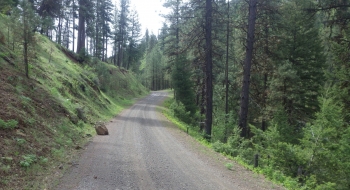
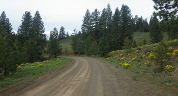
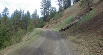
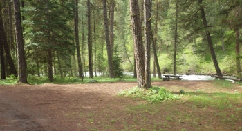
Start in New Bridge and begin a beautiful climb along Eagle Creek and then Little Eagle Creek. After long and steady climbing you break out in the open for great views after McBride Campground. It is a good route taken either direction. The road surface surpasses many of the paved roads in the region in quality and smoothness. At McBride this route connects with the Carson Grade to Summit Point feature, so take a look at that if you decide to go to Summit Point or drop down Carson Grade to Halfway.
Trail Description
Trail data mapped by Brian Sather on Apr 25, 2016 · Last update: Jul 7, 2016
Waypoints
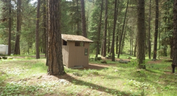
Eagle Forks Campground
44.89033, -117.26167McBride Campground
44.9351, -117.22156Photos