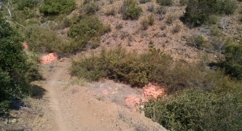
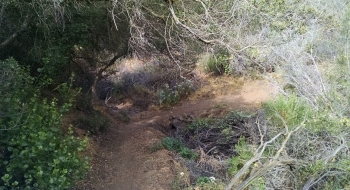
Tucked in the shrubs along the hillside above Temecula and Murrieta, this trail offers some cross country riding for a quick workout and skill shake-out. The ride contours along the draws of the mountain for a good workout and some bike balancing as it winds through some tight brush. You can finish it on the southeast end with a fun downhill. It is in a convenient location for lunch or evening rides for the residents in this area of SoCal. Right now it is mainly an out-and-back as shown on this map, but there is a way to take it as a one way from the top on Eagle's Nest (not shown on this track). More trail is being built currently, presumably to make a loop. If you're not riding to the trail, you can park streetside on the numerous roads in this industrial area. Rio Nedo is probably your best bet.
Trail Description
Trail data mapped by Brian Sather on May 28, 2016 · Last update: May 17, 2019
Waypoints
Parking X Trail
33.5051, -117.17888Photos