This is an unofficial trail that connects Flagstaff Butte ridge with Mule Peak ridge. It can serve as a bonus connector trail if one wants to do a loop of Sand Pass, Tombstone Lake, and West Eagle trails. Otherwise, it mainly serves as a hunters' trail or alternate access Mule Peak. It is a bit shorter and gains you some elevation over starting at Pole Creek Trailhead. The more recent heavier use of this trail was for fire crews to hike into the fire line for the Mule Peak Fire of 2005. That was probably the last time it was thoroughly cut out. The trail appears to be an old trail that was well established at one time, perhaps for access from an old lookout at Flagstaff Butte or connecting communication lines and transportation to Mule Peak Lookout.
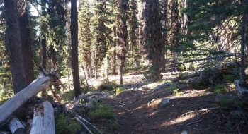
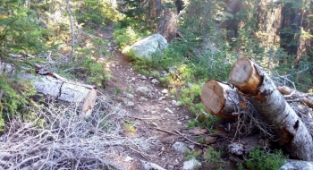
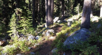
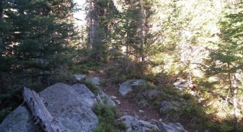
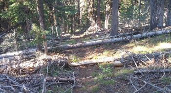
At the north end, the trail plugs into the Sand Pass Trail just below the junction with Mule Peak Trail. The south end starts off of a very rough road along the top of Flagstaff Butte ridge. Both starts to the trail are in rough shape and hard to find with blow-down from burnt trees. The trail surface is good in the middle but it is not maintained so logs are across it off and on throughout.
Since the trail crosses over South Catherine Ditch (also called China Ditch by some), you can also use this trail to get there and hike up and down the ditch. There is a non-maintained path along the edge of the ditch or you can hike the ditch itself because most of the time it is dry. About a quarter mile up from where the trail crosses there is a headgate that is closed, sending water back down to South Fork Catherine Creek. This is presumably opened at times to control flooding of Catherine Creek near Union. Most of the time I don't see water in the ditch and it has a nice sandy bottom that is good to get up and down.
Back to my idea about a connector for a loop: to get to the start from West Eagle Meadow you would have to go cross country up the ridge and through the Trout Creek area to connect directly to it or hike the road up to it. A better option would be to drop one rig near Flagstaff Butte and drive the other a short ways farther down to West Eagle Meadow, or vice verse depending on which way you want to do the loop.
Trail Notes
- 0.0 mi. Start where the road on Flagstaff ridge takes a hairpin right turn before a nasty off-camber corner.
- 0.3 The trail crosses an open meadow and isn't so well established. Keep roughly the same elevation and contour around to find the trail on the other side.
- 0.6 Trail crosses South Catherine Ditch
- 1.0 Trail arrives at South Fork Catherine Creek where some logs are there to cross it easily.
- 1.3 Not so well defined section of trail because a big tree is down. Work up the ridge to find it cutting to the right and then switching back for the final climb up to the base of the meadow.
- 1.5 Connect with the Sand Pass Trail at the very bottom of the meadow.